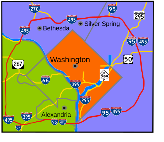
Capital Beltway Map Color
Författare/Upphovsman:
based on Image:Capital Beltway Map Color.png by Squiggygfm
Kreditera:
Eget arbete
Kort länk:
Källa:
Upplösning:
564 x 489 Pixel (285451 Bytes)
Beskrivning:
Interstate 495 in the state of Maryland and Commonwealth of Virginia in red surrounds the District of Columbia like a "belt", hence the name.
Licens:
Public domain
Mer information om licensen för bilden finns här. Senaste uppdateringen: Tue, 11 Feb 2025 18:59:40 GMT
