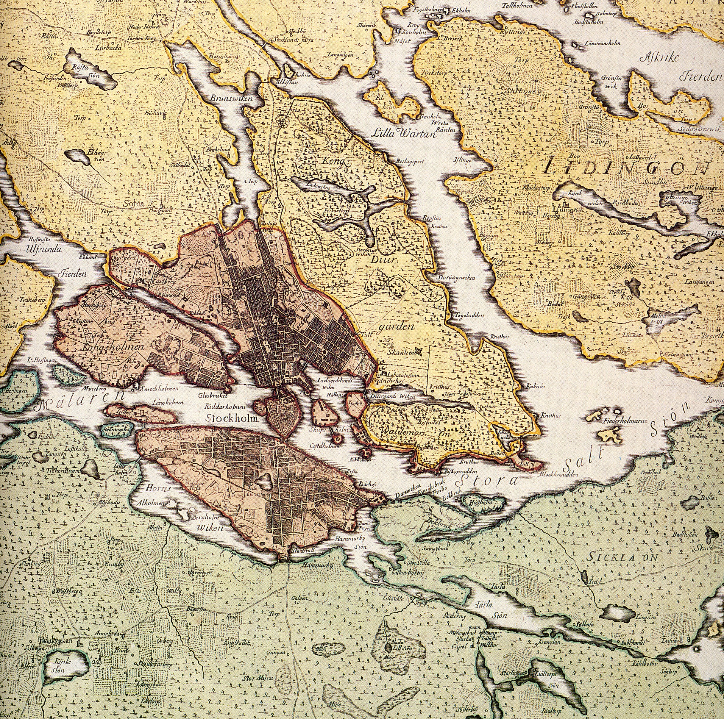
Stockholmskarta 1750
Författare/Upphovsman:
Georg Biurman
Kreditera:
Kungliga Biblioteket
Kort länk:
Källa:
Upplösning:
2432 x 2416 Pixel (4094119 Bytes)
Beskrivning:
Historical map showing Stockholm, in the 18th century. The map is produced by Georg Biurman about 1750-51.
Licens:
Public domain
Licenskommentaren:
yes the author is dead over 70 years
Mer information om licensen för bilden finns här. Senaste uppdateringen: Sat, 12 Apr 2025 12:15:25 GMT