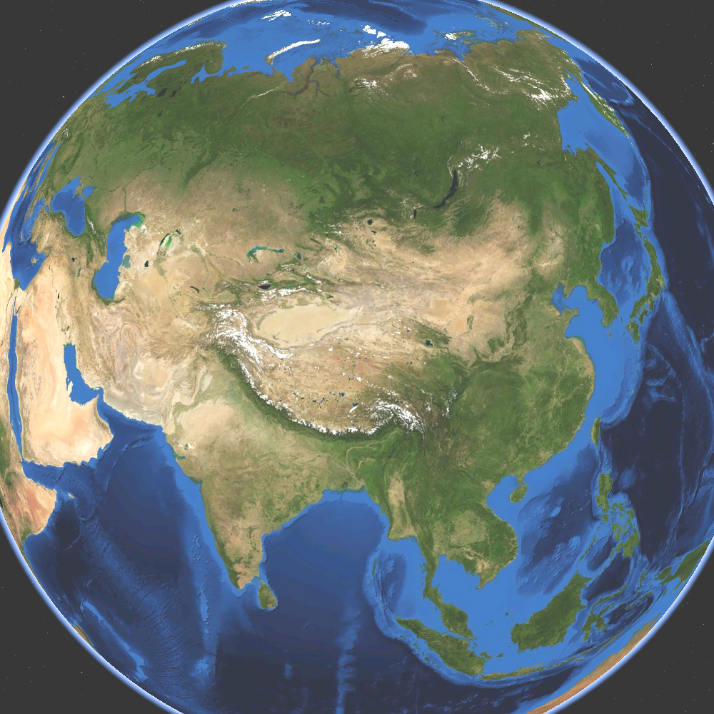
Asia satellite
Författare/Upphovsman:
Kreditera:
Own work by uploader, made with NASA World Wind.
Kort länk:
Källa:
Upplösning:
1000 x 1000 Pixel (664300 Bytes)
Beskrivning:
Satellite map of Asia. Land terrain and bathymetry (ocean-floor topography).
Licens:
Public domain
Mer information om licensen för bilden finns här. Senaste uppdateringen: Tue, 25 Feb 2025 23:21:05 GMT